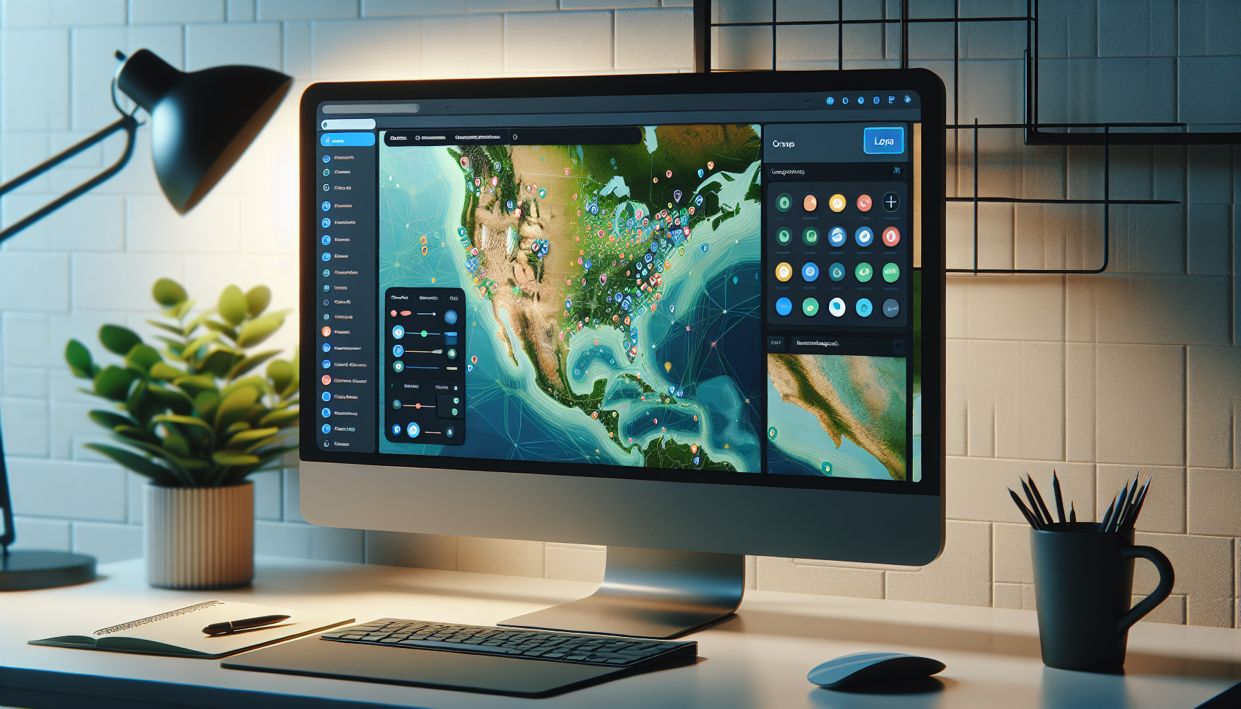
Using JavaScript to Create Interactive Web Maps
Why is JavaScript Essential for Interactive Web Maps?
JavaScript is the backbone that brings web maps to life, enabling dynamic interaction and real-time data manipulation.
TL;DR: Quick Guide to Crafting Interactive Maps with JavaScript
To build an interactive web map, use JavaScript and map libraries like Leaflet or OpenLayers, which offer tools for adding markers, layers, and user interaction.
Establishing the Basics of Web Mapping with JavaScript
A web map on a site usually starts with initializing a map object and setting its view to a specific latitude and longitude.
Libraries like Leaflet make this process straightforward with simple syntax.
// Initializing a map using Leaflet

var map = L.map('mapid').setView([51.505, -0.09], 13);
Choosing the Right JavaScript Library for Map Interactivity
Leaflet is known for being lightweight and mobile-friendly, whereas OpenLayers offers extensive functionality for complex applications.
Pros of Leaflet
- User-friendly for beginners
- Lightweight with no external dependencies
- Flexible and extendable with plugins
Cons of Leaflet
- Limited out-of-the-box functionality compared to more robust libraries
Pros of OpenLayers
- Highly versatile for complex spatial operations
- Supports various map projections and data formats
Cons of OpenLayers
- More complex and steeper learning curve
Adding Markers and Layers with JavaScript
Markers are foundational in web maps as they signal specific locations, and layers allow for managing multiple datasets effectively.
// Adding a marker in Leaflet

var marker = L.marker([51.5, -0.09]).addTo(map);
Layers are neatly managed in Leaflet through a layer control feature.
// Creating two tile layers and adding a layer control

var streets = L.tileLayer('http://{s}.tile.osm.org/{z}/{x}/{y}.png', {

    id: 'mapbox/streets-v11',

});
var grayscale = L.tileLayer('http://{s}.tile.osm.org/{z}/{x}/{y}.png', {
id: 'mapbox/light-v10',
});
var baseMaps = {
"Streets": streets,
"Grayscale": grayscale
};
L.control.layers(baseMaps).addTo(map);
Handling Events to Enhance Map Interactivity
JavaScript event listeners can be used to update content, display information, or alter the map view on a web map.
Leaflet, for instance, offers a variety of map events to hook into, such as click, dblclick, and mousemove.
// Adding a click event to the map in Leaflet

map.on('click', function(e) {

    L.popup()

    .setLatLng(e.latlng)

    .setContent("You clicked the map at " + e.latlng.toString())

    .openOn(map);

});
Incorporating User Geolocation for Personalized Interactions
Modern browsers offer geolocation capabilities that, when combined with a map, can display a user’s location and nearby features.
JavaScript’s Geolocation API, when paired with map libraries, unlocks these personalization features.
// Using the Geolocation API with Leaflet

map.locate({setView: true, maxZoom: 16});
function onLocationFound(e) {
var radius = e.accuracy / 2;
L.marker(e.latlng).addTo(map)
.bindPopup("You are within " + radius + " meters from this point").openPopup();
L.circle(e.latlng, radius).addTo(map);
}
map.on('locationfound', onLocationFound);
Managing Asynchronous Data Fetching for Real-Time Maps
A web map often needs to be able to load data in real time or react to user-driven events, which requires handling asynchronous operations in JavaScript.
Fetching data from a server using the Fetch API and updating the map layers accordingly is a common operation.
// Fetching GeoJSON data and adding it to a map

fetch('data/locations.geojson')

    .then(function(response) {

        return response.json();

    })

    .then(function(data) {

        L.geoJSON(data).addTo(map);

    });
Frequently Asked Questions
What is the easiest way to start with web mapping in JavaScript?
The easiest way to start is by using Leaflet with its simple, readable code and large community of developers.
Can I display real-time data on web maps?
Yes, you can use JavaScript in conjunction with web sockets or the Fetch API to display and update real-time data on web maps.
Do I need to know GIS concepts to create web maps with JavaScript?
Basic knowledge of GIS concepts like coordinates and projections helps, but many libraries abstract these details away.
How do I handle map events like clicks or drags?
Use JavaScript event listeners to handle map interactions and provide feedback or responses on the map.
Can I use web maps on mobile devices?
Libraries like Leaflet are optimized for mobile use, ensuring your maps are responsive and functional on various devices.
Understanding Interactivity in Web Maps
Interactivity in web maps is about creating a seamless experience that allows users to engage with the map elements in real-time.
JavaScript, combined with robust libraries like Leaflet or OpenLayers, opens up a world of possibilities for data visualization and user engagement.
Summary of Using JavaScript for Interactive Web Maps
JavaScript is the key to creating interactive web maps, with libraries like Leaflet providing the tools for adding markers, layers, and handling events.
Using these resources, you can craft maps that respond to user actions, offer personalized experiences based on geolocation, and display dynamic, real-time data.
Enhancing User Experience with Customizable Map Controls
Building on JavaScript’s versatility, you can create customizable map controls that enhance the overall user experience.
These controls can range from simple zoom buttons to custom tools for drawing or measuring on the map.
// Adding Zoom Control with Leaflet

L.control.zoom({

     position: 'bottomright'

}).addTo(map);
// Custom draw control using Leaflet.Draw
var drawControl = new L.Control.Draw({
draw: {
polyline: true,
polygon: true,
circle: false, // Disables circle drawing
rectangle: true,
marker: true
}
});
map.addControl(drawControl);
Utilizing Popups and Tooltips for Information Display
Popups and tooltips serve as interactive elements providing additional information about map features with a simple hover or click.
They can be customized to include images, links, or any relevant HTML content to deliver a richer user experience.
// Adding a popup with custom HTML content in Leaflet

var customPopup = '<h3>Feature Title</h3><p>More information about the feature</p>';

var popupOptions = {

    minWidth: '200',

    maxWidth: '300',

    className: 'custom-popup-class'

};
L.marker([51.5, -0.09]).addTo(map).bindPopup(customPopup, popupOptions);
For quickly available information, tooltips offer a lightweight alternative to popups.
// Adding a tooltip in Leaflet

L.marker([51.5, -0.09]).addTo(map).bindTooltip("Quick info");
Building Mobile-Responsive Web Maps
With mobile use surging, creating web maps that are mobile-responsive is essential to ensure accessibility for all users.
Libraries like Leaflet have built-in responsiveness, but it’s important to test on various devices and adjust controls and touch interactions as needed.
Integrating Third-Party Services and APIs
Connecting your JavaScript-based web map with third-party services like Google Maps API or Mapbox can elevate your mapping solutions with additional layers, geocoding capabilities, and more.
// Using Mapbox tiles in Leaflet

L.tileLayer('https://{s}.tiles.mapbox.com/v4/{id}/{z}/{x}/{y}.png?access_token={accessToken}', {

    attribution: 'Map data © OpenStreetMap contributors',

    id: 'mapbox.streets',

    accessToken: 'your.mapbox.access.token'

}).addTo(map);
Creating Data-Driven Visualizations and Heatmaps
Data-driven visualizations like choropleth maps or heatmaps can be implemented using JavaScript to represent data variations across different geographical areas.
Leveraging JavaScript libraries, such as Leaflet’s heatmap plugin, can help you visualize density or magnitude of data intuitively.
// Creating a heatmap with Leaflet

var heatmapData = [

    {"lat": 50.5, "lng": -0.09, "count": 10},

    {"lat": 51.5, "lng": -0.10, "count": 75},

    // ...additional points...

];
var heat = L.heatLayer(heatmapData, {radius: 25}).addTo(map);
Adapting Web Maps to Real-Time Data Streams
Incorporating real-time data is a game-changer for web maps, providing updates as events occur, from weather changes to traffic updates.
JavaScript and WebSocket technology together can handle dynamic data streams for real-time mapping applications.
// Connecting to a WebSocket for real-time data updates

var socket = new WebSocket('ws://realtime-data-stream.com');
socket.onmessage = function(event) {
// Parse the incoming data
var data = JSON.parse(event.data);
// Update the map with the real-time data
L.geoJSON(data).addTo(map);
};
Frequently Asked Questions
How can I make my web map more accessible?
Make sure to include map controls with clear labels, use color-blind friendly palettes, and ensure the map works well with keyboard navigation and screen readers.
What are some advanced features I can add to my web map?
You might consider adding route planning, search and filter capabilities, or even 3D terrain visualization depending on your project needs.
Can JavaScript handle large datasets for web mapping?
Yes, JavaScript can handle large datasets, but for optimal performance, consider using techniques like tiling, clustering, and server-side rendering.
How do I ensure my web map performs well?
Optimize your map by using efficient libraries, minimizing HTTP requests, and being smart about when and how data is loaded and displayed.
Are there any security concerns with web maps?
Yes, when using APIs or handling user data, ensure your application is secure against common web threats and that your API keys are not exposed.
Advanced Techniques in JavaScript Map Development
For developers looking to push boundaries, advanced techniques like integrating with WebGL for high-performance rendering or hooking into the device’s accelerometer for context-aware mapping can be explored.
Modern JavaScript, with its continual advancements, opens doors to these innovative, immersive map experiences.
Embracing the Future of Web Mapping with JavaScript
As web technologies evolve, so does the power of web mapping with JavaScript.
With its ability to integrate with cutting-edge tech and rich ecosystem of libraries, JavaScript is an indispensable tool for any web mapping project.
Shop more on Amazon